
3D services
Comprehensive 3D measurements and modeling
Our 3D services enable quick and precise acquisition of data on terrain and facilities. Using laser scanning, drones, and BIM technology, we create digital models that support infrastructure design, construction, and analysis.
We also offer solutions tailored to both small investments and large industrial projects. This provides clients with data that can be used for planning, documentation, inspection, and further technical analysis.
3D laser scanning
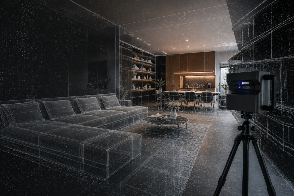
3D laser scanning is one of the most accurate methods for acquiring spatial data. It enables the creation of dense point clouds that reproduce real-world objects with extremely high precision.
This technology enables quick measurements of even complex structures and difficult-to-access areas. Furthermore, scanning data is used in design, inventory, and technical analyses. As a result, investors and designers receive detailed information that facilitates decision-making.
Drone Photogrammetry and LiDAR
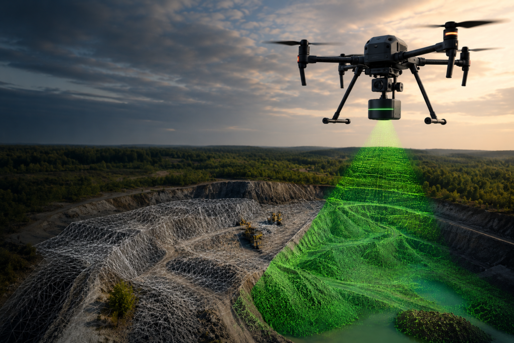
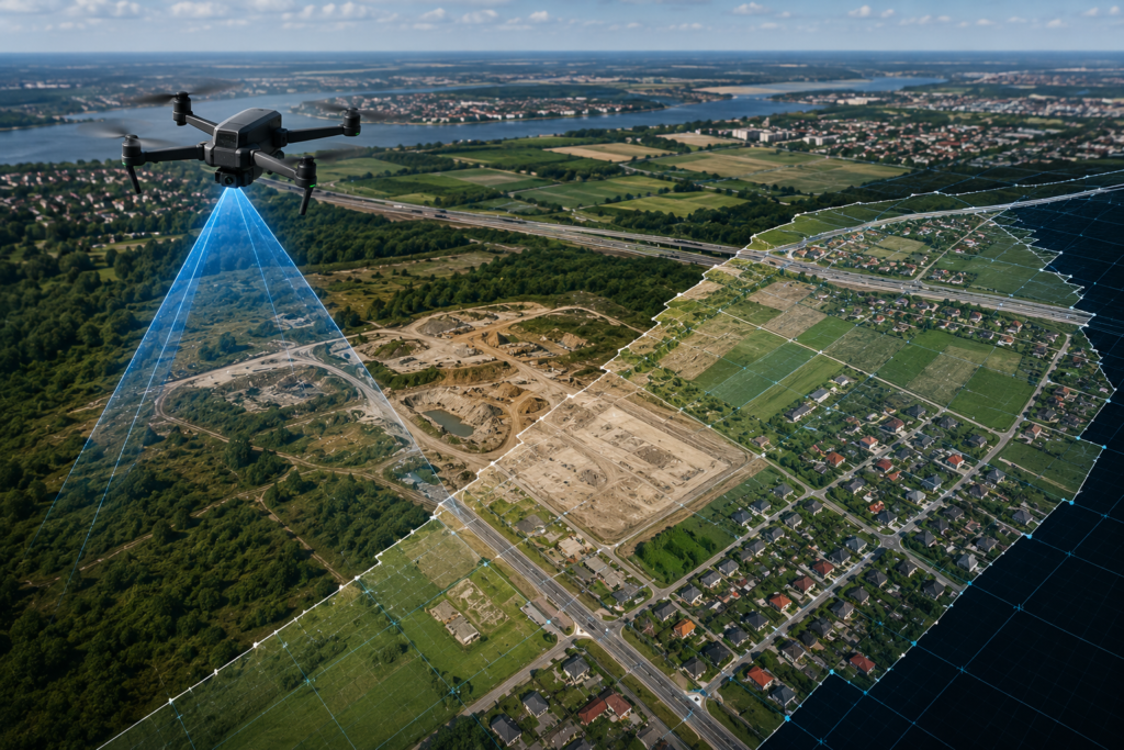
Drone photogrammetry and LiDAR scanning enable quick and efficient data acquisition over large areas. This makes them an ideal solution for projects requiring up-to-date terrain information.
We create orthophotomaps, 3D models, and spatial analyses that support design and planning processes. Furthermore, drone technology significantly shortens implementation times and increases the scope of measurements, enabling rapid data processing, even for large areas.
Precise ground measurements
We perform precise ground measurements, which form the basis of many construction projects. We provide accurate site and elevation data and the documentation necessary for project design and implementation.
We use modern surveying equipment, ensuring high accuracy and repeatability of results. This ensures that the measurements prepared provide a solid foundation for further design, implementation, and inspection work.
Modeling and BIM
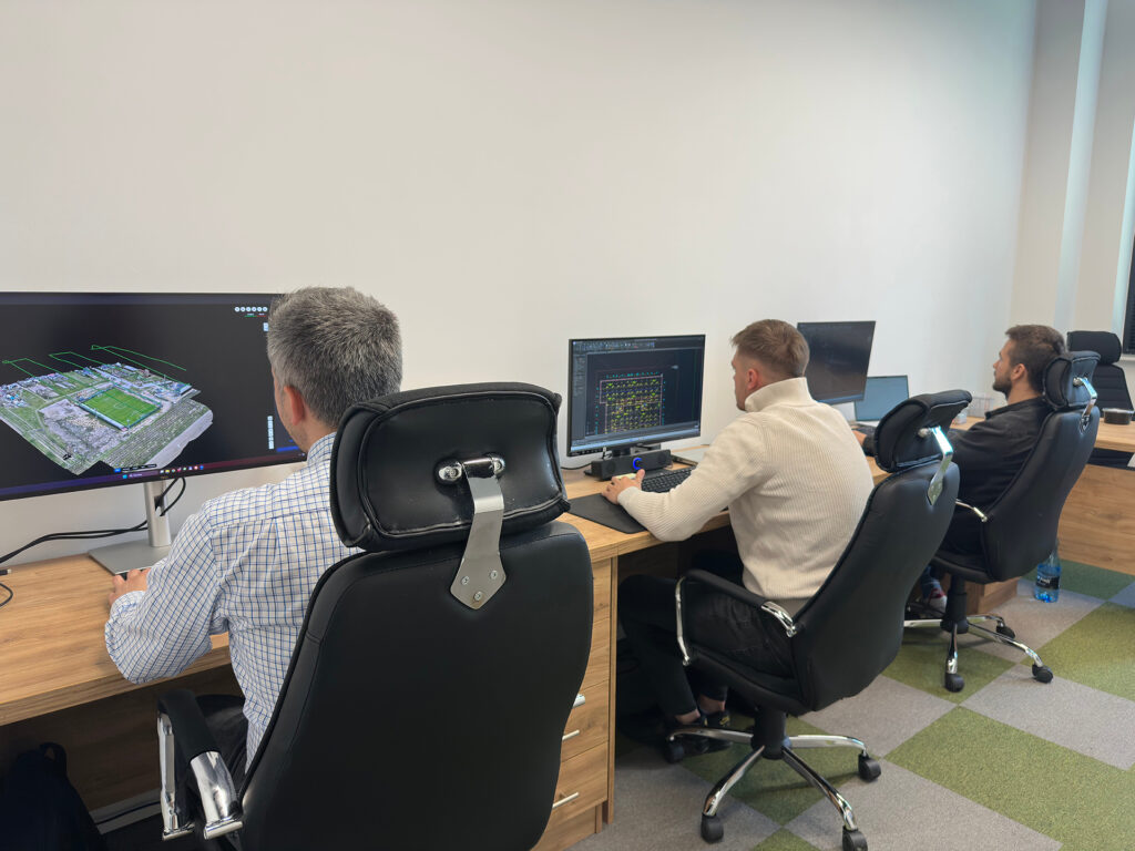
BIM modeling is the digital representation of facilities and infrastructure that supports the entire investment process. We create 3D models used in design, analysis, and construction management.
Integrating measurement data with BIM enables better planning, error reduction, and cost optimization. Furthermore, such models facilitate collaboration between designers, contractors, and investors, as all parties work with consistent data.
Why is it worth using 3D technology?
3D technologies in surveying allow for the acquisition of significantly more information than traditional measurements. The data is more detailed, easier to analyze, and can be reused at various stages of the project.
Therefore, this solution increases accuracy, shortens workflow, and reduces the risk of design errors. Furthermore, digital 3D data supports not only design but also control, documentation, and subsequent facility management.
What does cooperation look like?
The service delivery process is transparent and orderly:
Need 3D data for your investment?
Contact us, and we'll select the right technology and prepare a tailored offer for your project. We work quickly, accurately, and professionally.
What 3D services do you offer?
We offer professional 3D visualizations of interiors, apartments, houses, and commercial premises, as well as 3D property scanning and virtual tours. This allows you to present your space in a modern and attractive way.
Who are 3D services intended for?
Our services are aimed at individual clients, developers, construction companies, architects, interior designers, and property owners who want to present their investments more effectively.
What are the benefits of 3D real estate scanning?
3D scanning allows you to create an accurate digital model of a space that can be used for documentation, design, renovations, and online property presentations. This saves time and increases measurement precision.
How long does it take to complete a 3D visualization or scanning?
The turnaround time depends on the project size and scope of work. After receiving the details, we prepare a personalized quote and an estimated completion date, tailored to the client's needs.