Modern 3D scanning for the industry... industrial construction Automotive
3D scanning
We create accurate 3D models of objects and spaces that support design and analysis.
Laser inventory
We perform precise measurements of objects and terrain using laser scanning technology.
Geodetic services
We perform accurate measurements and geodetic studies necessary in the investment design process.
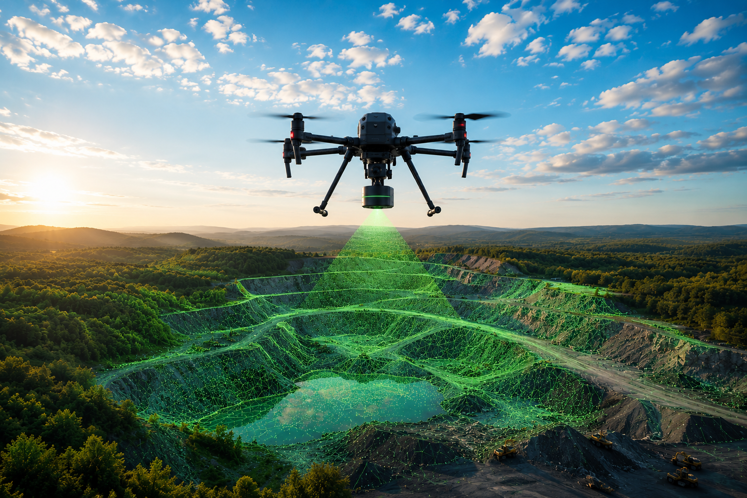
Geowita 3D – technology in practice
We combine modern measurement technologies with field experience to provide precise data for industry, construction, and investment.
Our projects are based on accuracy, reliability, and a practical approach to each project. Importantly, we don't just create measurements; we provide information that supports real-world business and design decisions.
Technology that gives you an advantage
We design solutions tailored to your needs.
We provide precise data that translates into better decisions and time savings.
Reliability
We carry out projects in accordance with agreements and the highest quality standards.
Modern equipment
We use advanced technologies and proven measurement solutions.
Punctuality
We meet agreed deadlines, ensuring the efficient execution of each order.
Individual approach
We tailor each project to the client's specific needs and requirements.
Do you have a project? Let’s talk about it.
Utilize modern measurement technologies in your project to obtain accurate information about a facility or site faster. This will help you make informed decisions, streamline project implementation, and reduce the risk of errors.
Our achievements
Selected projects in the field of 3D scanning, measurements and technical documentation.
3D scanning of an industrial hall
Construction documentation from a drone
Inventory of the technical facility
Inventory of the technical facility
Model of the investment area
Model of the investment area
Infrastructure inspection
Infrastructure inspection
Orthophotomap of the terrain
We support modern industry and construction
We provide accurate measurement data for companies, designers, and institutions that prioritize precision, safety, and modern 3D scanning technologies. We collaborate with surveying firms, design offices, construction companies, industrial plants, and contractors for investment and modernization projects. This allows our studies to support various project stages—from planning and documentation to inspection of completed work.
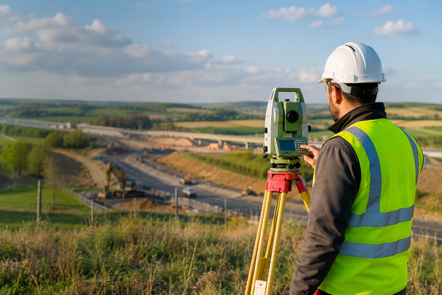
Geodetic companies
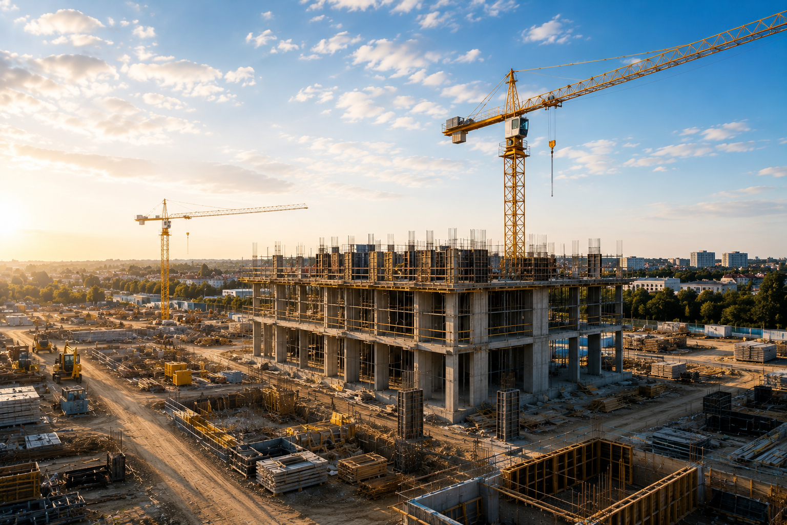
Construction companies
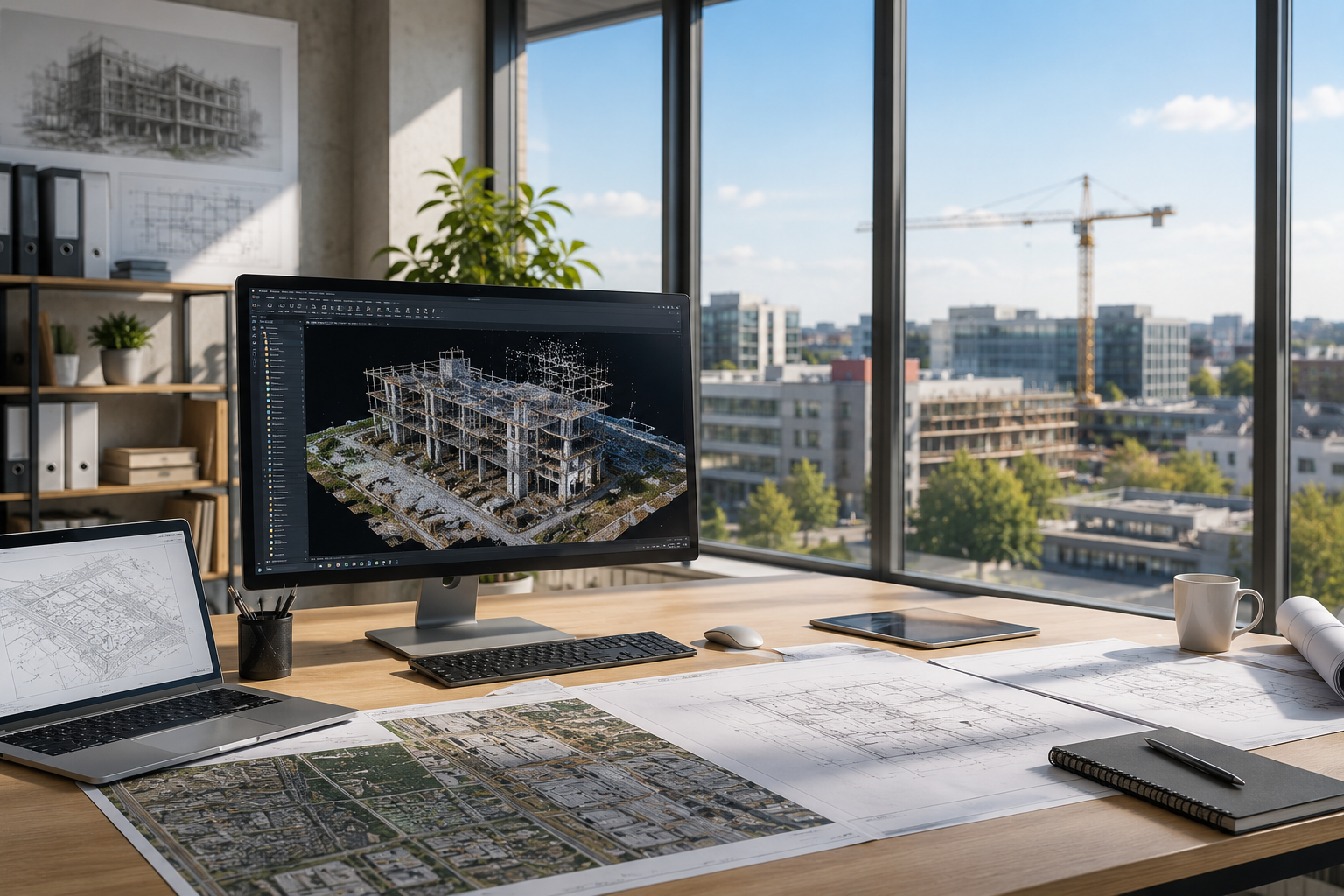
Design offices
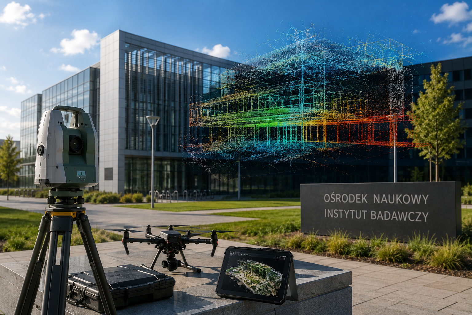
Research institutes
We also collaborate with design offices, research centers, and institutes, providing precise measurement data used in design, technical analysis, documentation, and research and development. Furthermore, 3D scanning allows for the rapid acquisition of accurate spatial data, even for complex objects and structures. This allows our studies to support the implementation of research projects, modernization projects, and advanced engineering analyses.
We also support entities supervising investments, as well as energy and photovoltaic infrastructure managers, by providing accurate measurement data necessary for control, documentation and planning of modernization works. At the same time, 3D scanning allows you to quickly and safely obtain information about the condition of objects, installations and technical infrastructure. Thanks to this, our studies help in making the right design decisions and also support maintaining a high level of investment security.
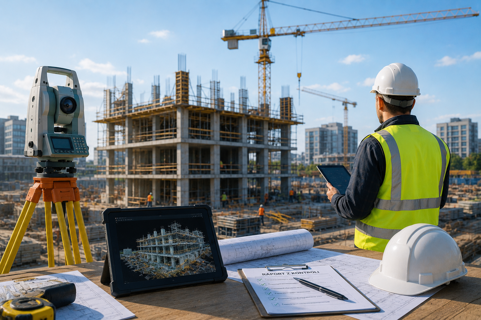
Podmioty sprawujace nadzór nad inwestycjami
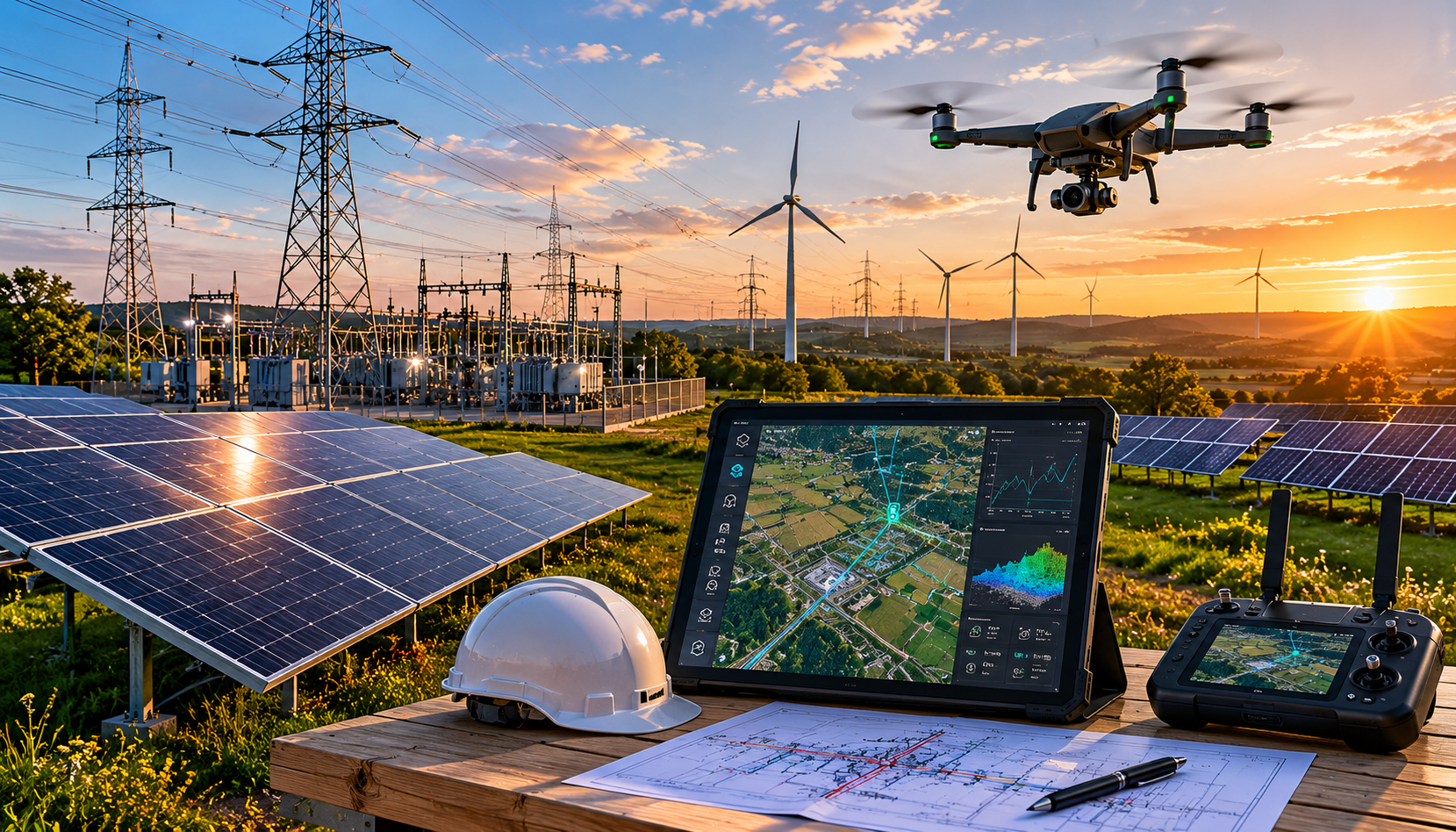
Zarządcy infrastruktury energetycznej i fotowoltaicznej
Frequently asked questions
How is the 3D scanning service priced?
The cost of the service depends primarily on the size of the facility, the degree of complexity of the project, the required accuracy, and the scope of data development. Scanning of a single detail is priced differently than a production hall or an entire building. We prepare an individual quote after a brief consultation or analysis of documentation and photos.
How long does the 3D scan take to complete?
The implementation time depends on the scale of the project and the scope of the final deliverables. We often perform the measurement itself within one day, while preparing the point cloud, CAD models, or documentation can take from a few days to about 2 weeks. In the case of urgent projects, it is possible to set a faster deadline.
Do you prepare CAD or BIM models based on 3D scanning?
Yes. In addition to the actual 3D scanning, we also produce CAD 2D/3D models and BIM models. The data can be prepared for, among other things, design, modernization, technical documentation, or work in programs such as AutoCAD, Revit, or SolidWorks.
How accurate is 3D scanning?
The accuracy of measurements depends on the type of object and the technology used, but in the case of scanning details and technical components, it is possible to achieve accuracy of up to fractions of a millimeter. With larger objects, such as buildings or industrial installations, we maintain high precision, allowing for the safe use of the data in projects and inventories.
In what area do you provide services?
We provide 3D scanning services throughout Poland. We serve both individual clients and companies from the industrial, construction, architectural, and manufacturing sectors. It is also possible to carry out projects abroad after prior agreement on the details.
What files and data do I receive after scanning?
The scope of the materials provided is determined individually for each project. Most often, the client receives a cloud of points, 3D models, CAD/BIM documentation, cross-sections, renderings, or exports to popular formats such as DWG, DXF, STEP, STL, E57, or RCP. The data is prepared in a way that enables further design and production work.