About us
What we do
Our offer covers a wide range of surveying services, including:
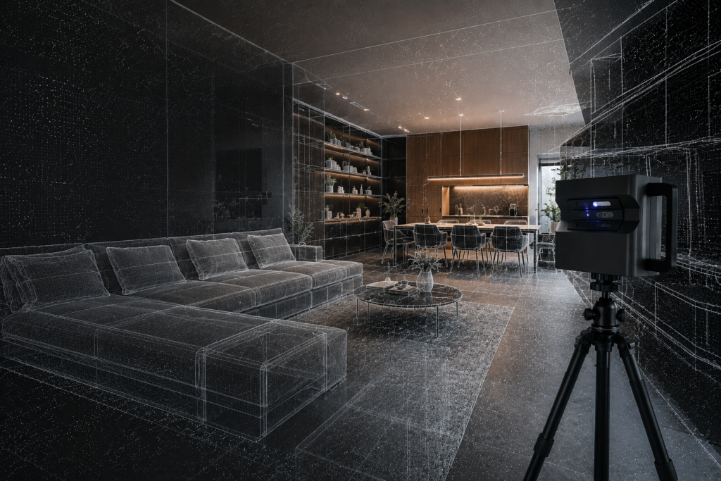
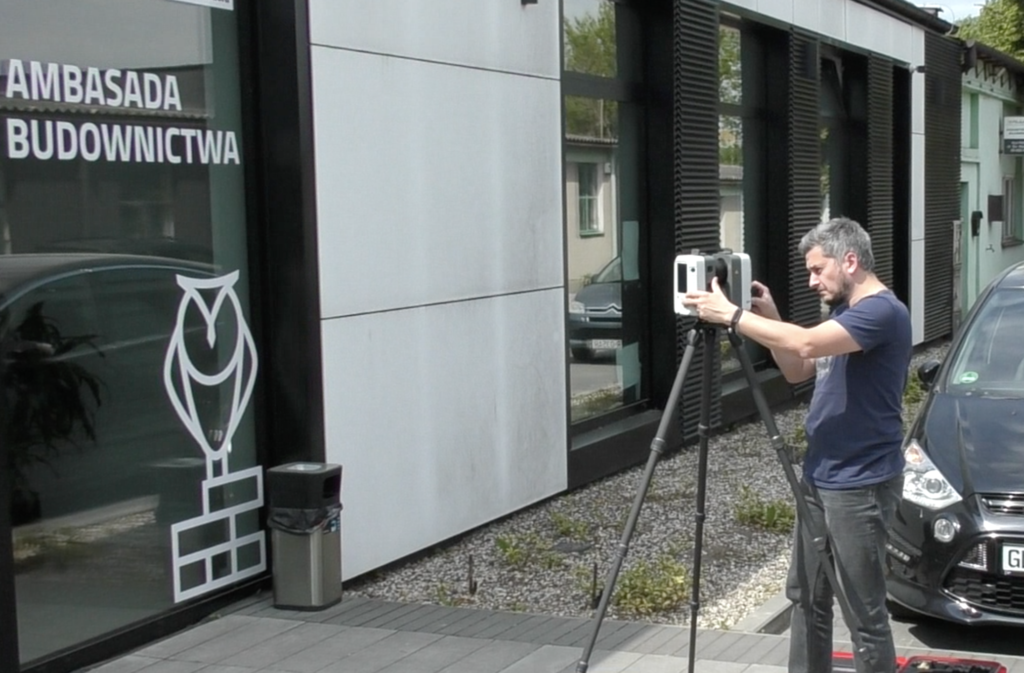
3D laser scanning
Drone photogrammetry and lidar
Precise ground measurements
Modeling and BIM
Who we are
We are a team of specialists specializing in geodesy and modern spatial measurements. We use high-end measurement equipment, allowing us to complete both standard surveying projects and advanced 3D studies.
We operate throughout Poland, so we handle investments of various scales – from private plots to large construction projects.
Why Geowita 3D
We prioritize precision, technology, and a practical approach to every project. We utilize modern measurement methods, including 3D solutions, to obtain a comprehensive picture of the site and its facilities. This allows us to prepare data that is accurate, readable, and useful in subsequent stages of the project.
Our priority is, above all, the accuracy of measurements, as well as quick order execution, clear and practical documentation, and an individual approach to each project.
Who we work for
We cooperate with:
- individual clients,
- construction companies,
- design offices and architects,
- private and commercial investors.
Our team
Behind Geowita 3D is a team of people who work daily both in the field and in the digital world of surveying. We combine geodetic experience with modern 3D technologies, creating accurate and readable data for investments. At the same time, we ensure that each project is executed precisely, efficiently, and in line with the client's expectations.
CEO
Łukasz Aderek
l.aderek@geowita3d.pl
797 507 575
Member of the board
Marcin Sznyrowski
m.znyrowski@geowita3d.pl
572 824 422
Contact us
If you require precise measurements or 3D documentation, please contact us. We will prepare a tailored offer for your project and advise you on the best measurement solution for your project.
What does Geowita 3D do?
Geowita 3D specializes in modern spatial measurements, 3D scanning, photogrammetry, drone surveys, and data processing for investments, facilities, land, and infrastructure. We create point clouds, 3D models, orthophotomaps, digital terrain models, and measurement documentation supporting the design, inventory, and analysis of facilities.
What is a point cloud?
A point cloud is a digital collection of millions of measurement points that represent the shape and location of a scanned object or terrain. Each point has specific spatial coordinates, enabling the creation of 3D models, cross-sections, projections, elevation analyses, and measurement documentation.
What is the difference between laser scanning and photogrammetry?
Laser scanning uses laser measurement to precisely map the geometry of an object or terrain. Photogrammetry, on the other hand, relies on ground- or drone-based images to create a 3D model, orthophotomap, or point cloud. The method chosen depends on the measurement objective, required accuracy, object type, and terrain conditions.
What does cooperation look like?
After receiving project information, we prepare a quote and determine the scope of work. We then create visualizations that you can review and provide feedback on. Our goal is to achieve a result that aligns with your vision.
What makes your company stand out?
We focus on an individual approach, attention to detail and realistic representation of space. We combine creativity with modern technologies, thanks to which our visualizations help clients make more confident design decisions.